Solar integrators use all sorts of tools to complete the tasks that keep their businesses moving forward. These include the obvious hand and power tools to install the solar equipment and the less obvious software tools to help with the administrative and design work. A task that is part of both administrative and design work is assessing either a potential or real project site to determine array size and possible shading. There are many ways to do this, one of which is the use of free and paid-for aerial / satellite imaging services. These tools will certainly help any integrator better understand an existing property / structure's solar potential and begin the system design process.
Using aerial / satellite imaging services helps the integrator assess a site to determine possible locations of solar arrays and to plan efficiently for a site visit. Prior to a site visit, the solar integrator should capture a screenshot of the site she/he is about to visit and markup the image with comments of items to look out for and dimensions to capture. This simple task will reduce time spent on site, reduce errors when notating site information, and provide an opportunity to pre-plan potential equipment and circuit locations / routes.
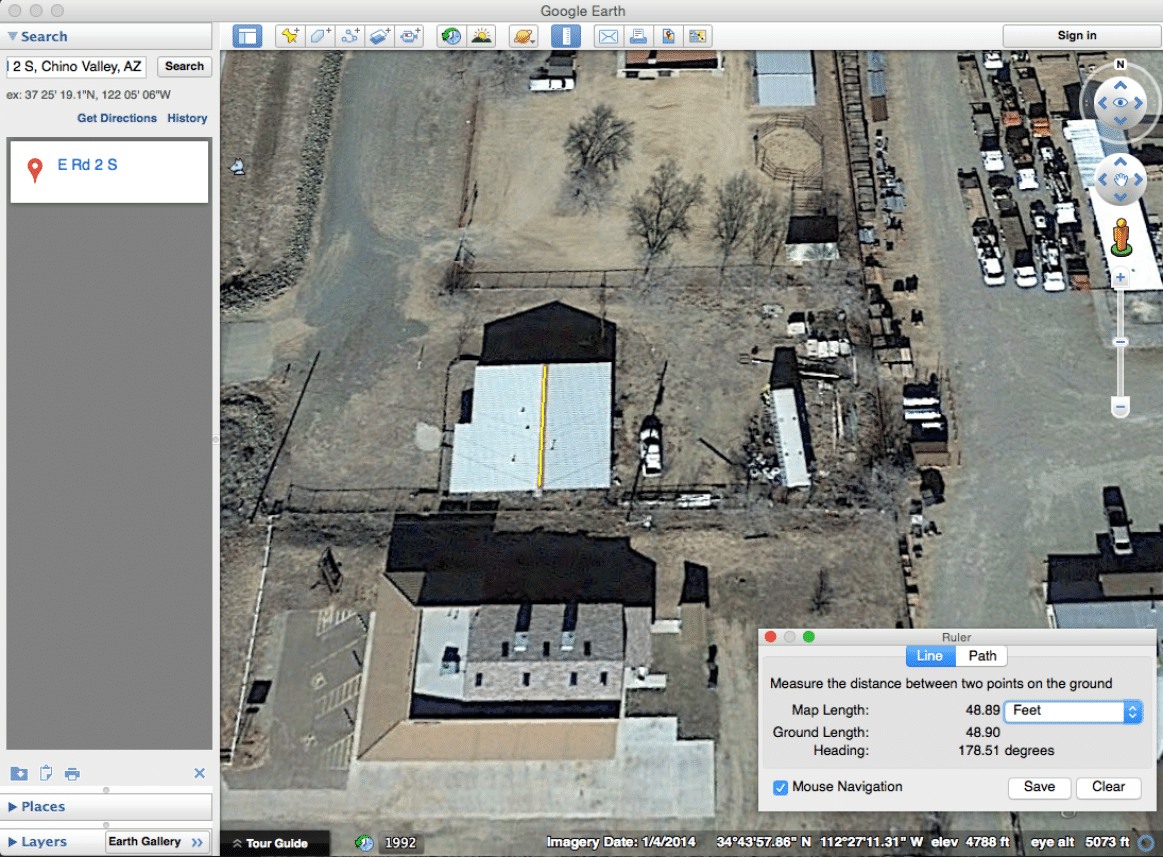
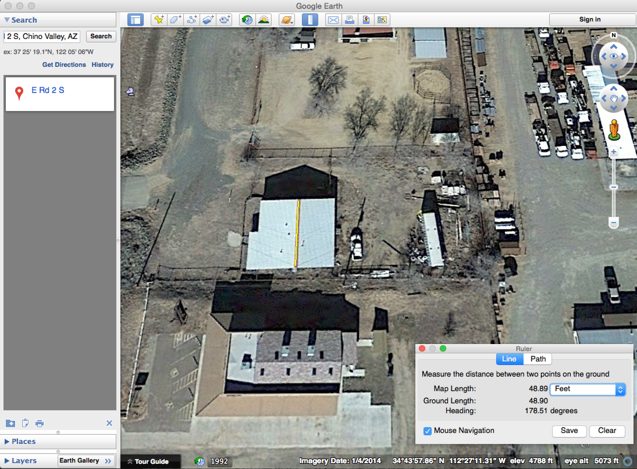
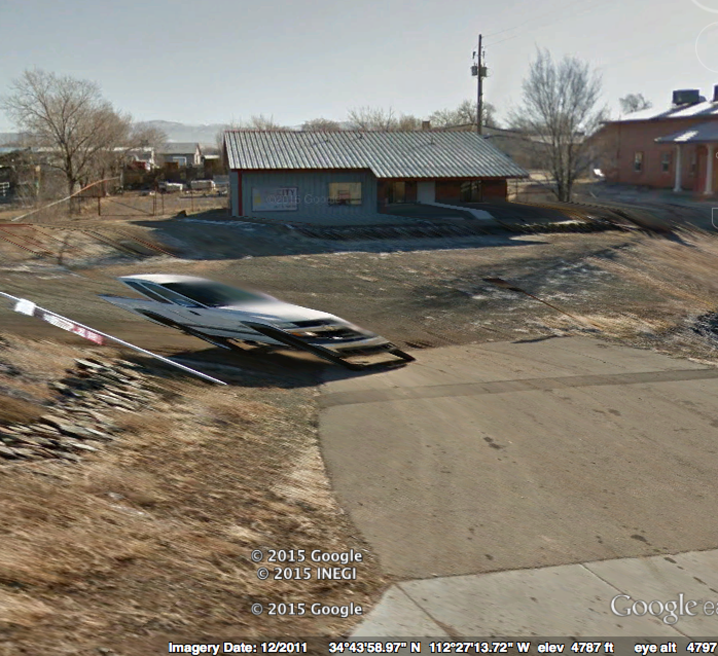
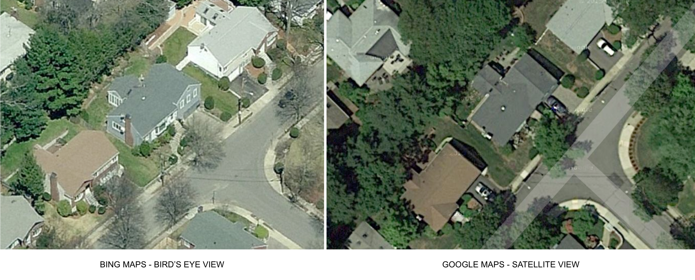
If the site visit is prior to the sale being secured, free services are likely better candidates for capturing aerial / satellite images. These services are widely available on the good ol’ web. The two most popular services are Google Maps with Google Earth integration and Bing Maps. Google Maps with Google Earth provides tools to measure the site. Rough roof dimensions can be determined as well as azimuth measurements of potential array locations. Additionally, terrain and street views are helpful at certain times when additional information is needed that cannot be captured from a simple overhead image. Google Maps has also been slowly rolling out full 3D views allowing for detailed preliminary site assessments.


When Google images aren’t detailed enough, Bing Maps’ Bird’s Eye View should be given a chance. Bing Maps’ resolution are astonishingly high because they are aerial images instead of satellite images. Furthermore, images are available for the four cardinal directions. The big downfall here is the lack of a free measurement tool using Bird’s Eye View.

Another similar useful tool for solar integrators is Solmetric's Azimuth tool. If appropriate imaging is available for a site, this free tool allows the user to measure pitch and azimuth. Check it out here.
If the site visit is for a 90% likely or already closed sale then a paid satellite / aerial imaging and roof report service might be the better choice. There are many service providers available. Two of the most popular are Rooforders and EagleView / Pictometry. Rooforders provides a simple PDF report that details rooflines (ridges, eaves, hips, rakes, etc.) with dimensions, areas and pitches of all lines and surfaces. An optional XML document can be included at an additional cost for use in CAD programs. Pricing varies for residential and commercial properties depending on overall area of roof (4,000 sf to 50k + sf). A sample report can be downloaded here. With an ordered report, you can provide your Greentech Renewables Account Manager a preliminary array layout that can become a full permit set.
EagleView / Pictometry are two independent services, each available at different costs. A comparable roof report for solar applications would be the EagleView Solar Report. A sample report can be found here. Costs vary depending on the quantity of reports you require in a given time period. For those that want superior site assessment capabilities, Pictometry is a service that allows for highly detailed inspections of buildings done remotely. Not only are roof images available, the user is able to dimension walls, slopes, lengths, areas and various other useful information that would otherwise be gathered by an on-site exterior walkthrough. The cost of this service is higher than the others already presented and also varies. However, the images are detailed enough that remote work can be achieved.
To sum up, there are many satellite / aerial imaging tools available, both free and paid services to help solar integrators be more efficient and thorough with their site assessment practices. Shorten the time you capture information on site by preparing a few days in advance using one of these tools. This will give you more time to spend with the [potential] customer, establishing a stronger relationship.
Contact your Account Manager to learn more about site assessments, layouts and our full offering of design services.